Public realm · Boston · 2019–20
Charlesgate Park
Archival evidence and point-cloud survey became the working geometry for a reparative park restoration.
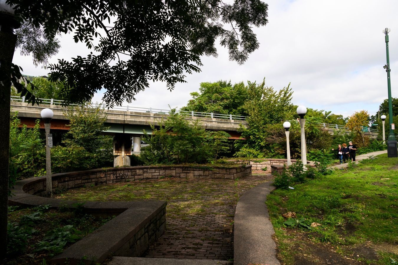
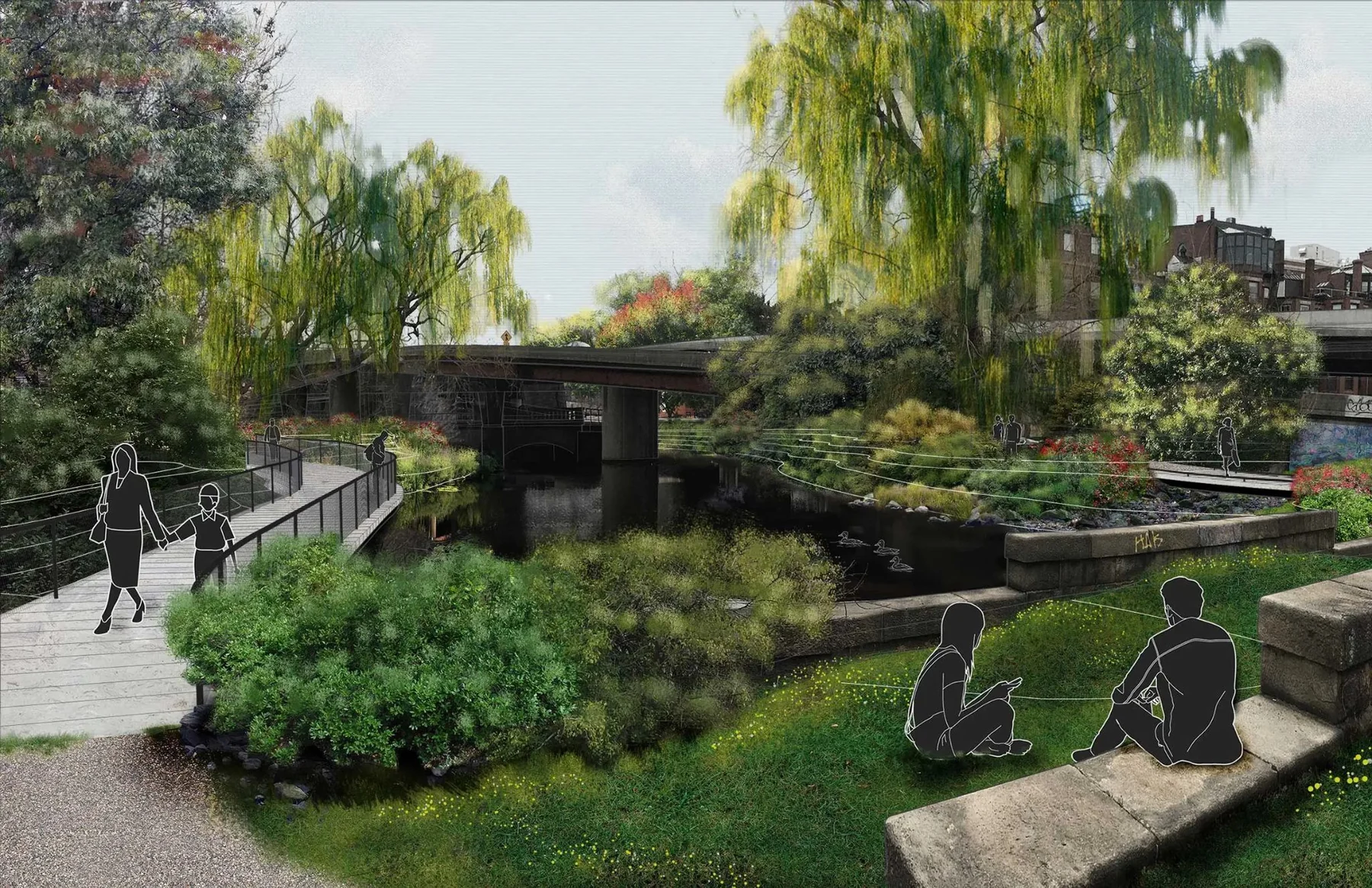
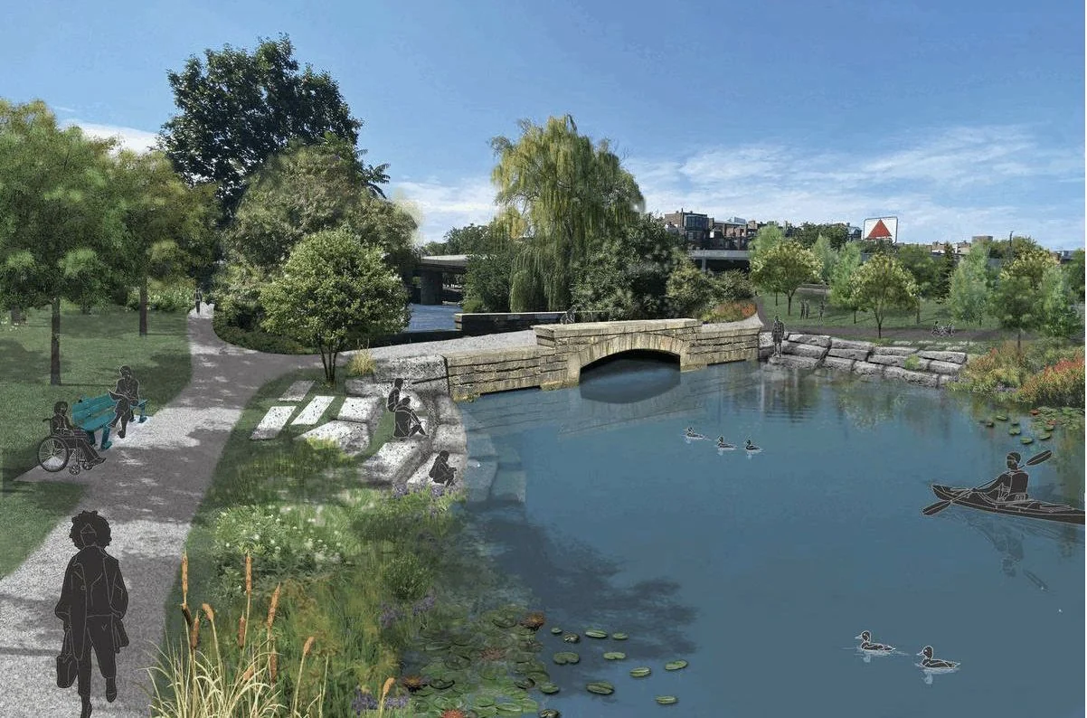
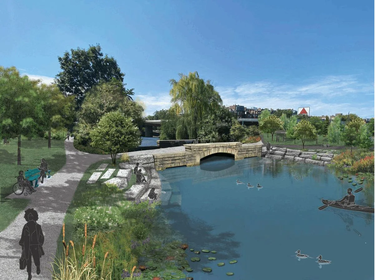
The proposal recovered the buried course of the Muddy River and treated public testimony, ecological repair, and the highway itself as existing conditions—not background context.
Role
Architectural designer · computational site modeling
Outcome
A phased restoration proposal grounded in archival research, survey geometry, public hearings, and maintenance planning.
The operating story
What the system held,
and what it left human.
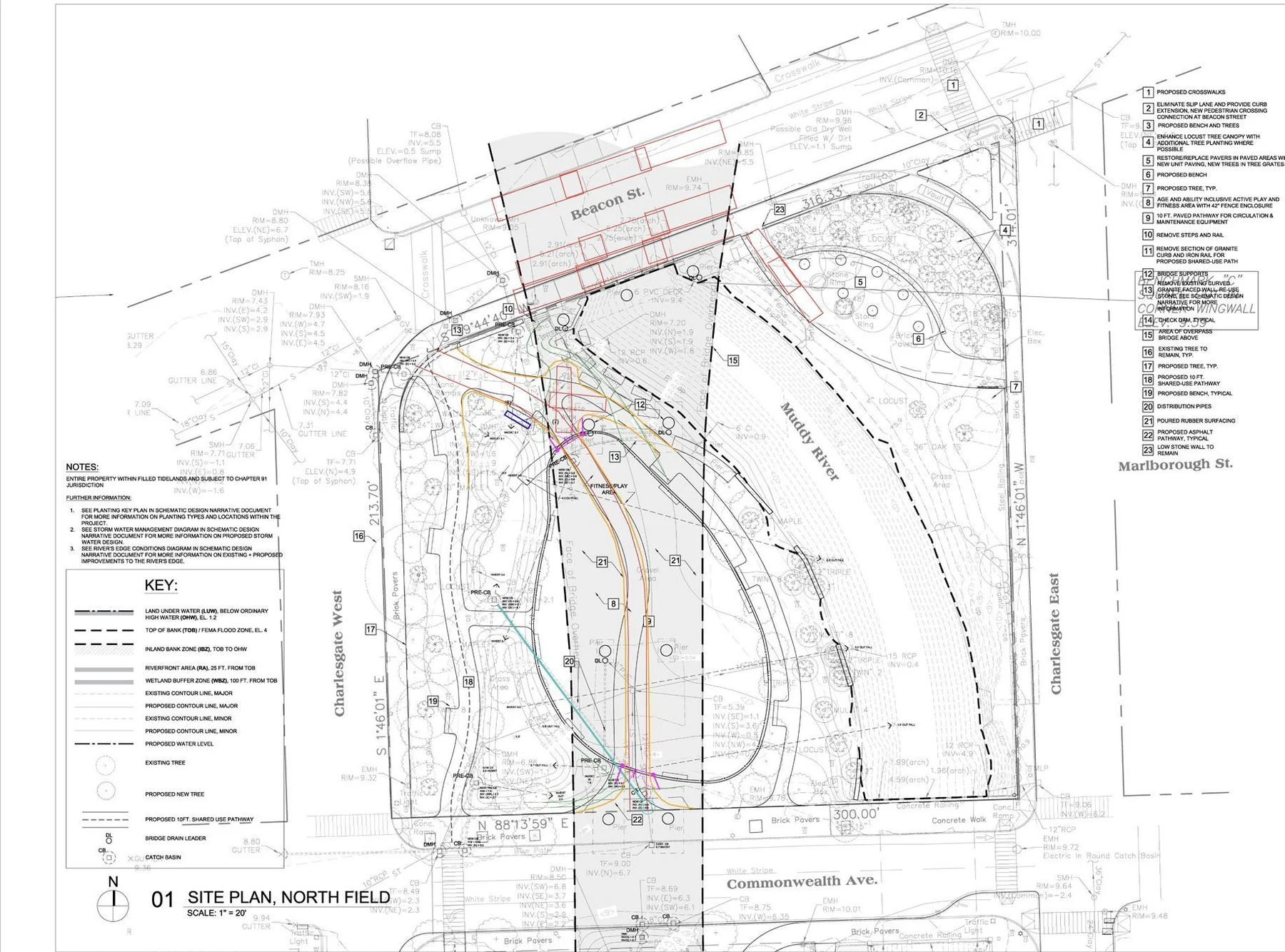
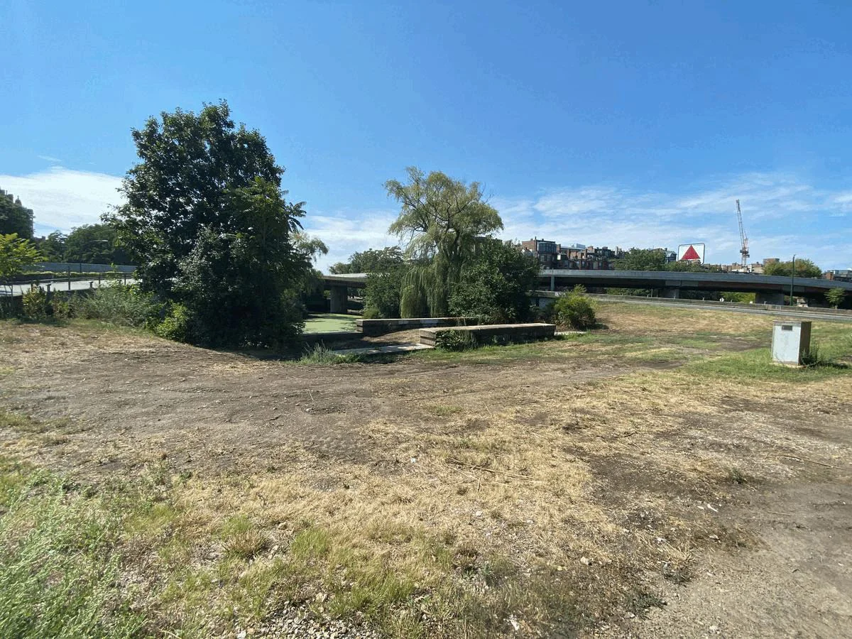
Charlesgate was once a connector in Boston’s park system. Urban Renewal put a highway through it, buried the Muddy River, and left a public landscape cut off from both its ecology and its history. The project began by refusing to treat the residual space under the road as a blank site. Archival plans were used to recover what had been displaced; point-cloud survey became a workable mesh of the highway; Grasshopper automated tree modeling and placement across a large, irregular landscape. Those technical models sat beside public hearings, agency coordination, maintenance planning, and a phased approach to reuse. Daylighting the river was both ecological infrastructure and a way to make the site’s loss legible. The accountable parties stayed visible throughout: the public shaped the brief, agencies held the long-term maintenance burden, and the design team translated that record into a sequence that could actually be delivered.
By the numbers
- Point-cloud survey → highway mesh
- Grasshopper-automated tree placement
- Phased public-realm delivery
Artifacts that carry the case
- Historical river overlays
- Point-cloud / mesh comparison
- Public-hearing and phasing diagrams
Recover the record
Historical plans and environmental research located the culverted river and made the site’s political history part of the design brief.
Build the site model
Survey point clouds, a meshified highway, and automated tree placement turned an infrastructurally difficult site into geometry the team could reason with.
Return it in phases
Public input, ecological repair, maintenance, and incremental access were coordinated as one delivery sequence rather than separate promises.